Lyon in relief: the secret topography of a city between two rivers
Lyon is often described as a city nestled between the Rhône and the Saône. But this description barely scratches the surface of its actual relief. Seen through its topography, Lyon is a city of striking contrasts — which is precisely what makes it such a fascinating subject for illustration.
A city between plain and heights
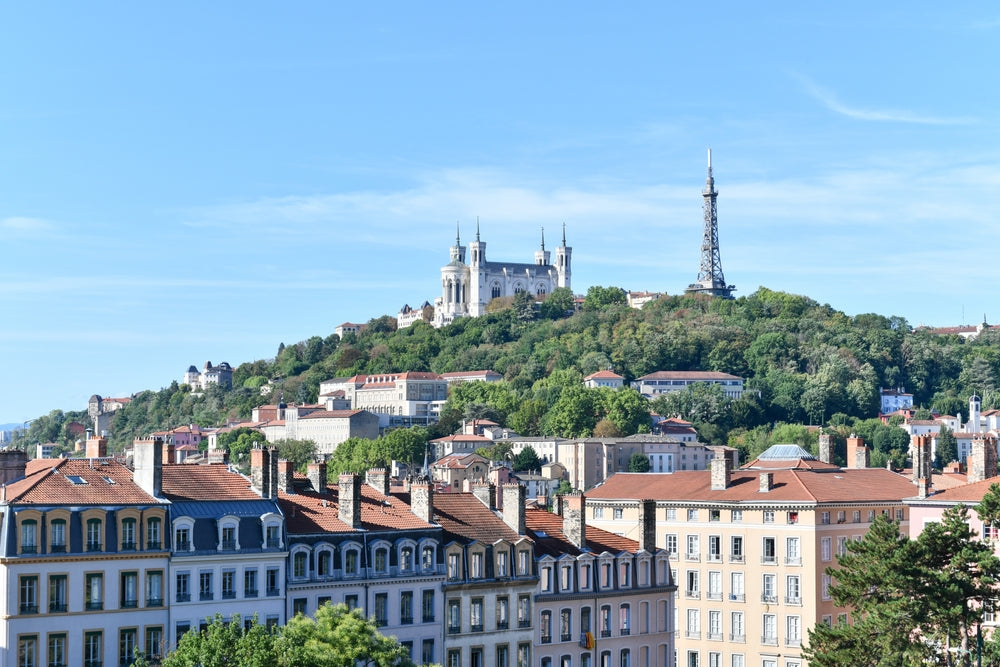
The Presqu'île, squeezed between the two rivers, is relatively flat. But as you approach the Croix-Rousse, the slope becomes brutal — more than a hundred meters of elevation gain in just a few hundred meters as the crow flies. To the west, Fourvière dominates the city from its praying hill, while to the east, the districts of Part-Dieu and Gerland stretch across a formerly marshy plain.
This particular geology, shaped by Alpine glaciers and river alluvium, explains Lyon's very history. The silk weavers of the Croix-Rousse, the traboules of the slopes, the hilltop basilicas... everything is explained by the terrain.
Fourvière: the hill that prays
At 300 meters above sea level, the Fourvière hill offers the most iconic panorama over Lyon. On a topographic illustration, it appears as a distinctive ridge, separated from the Presqu'île by a pronounced dip. This is where the Romans founded Lugdunum, intuitively grasping the strategic value of such a promontory.
The climb to Fourvière, traced in tight strokes on an Alta illustration, tells in lines what Lyonnais feel on the way up on foot: a gradual effort, a panoramic reward.
The Croix-Rousse: the hill that works
Across the way, the Croix-Rousse is Fourvière's popular counterpart. Its terrain, gentler on the plateau side but steep toward the Presqu'île, has given it a distinctive character. The traboules, the high-ceilinged buildings designed to house the looms — all of this stems from the relief.
On a topographic illustration of Lyon, the Croix-Rousse stands out clearly: its characteristic hump is immediately recognizable to anyone who knows the city.
The confluence: where topographic data tells the story of water
To the south of the Presqu'île, the confluence of the Rhône and Saône is a remarkable point not only geographically but topographically. Altitude data reveals the former islands, oxbow lakes, and backfill zones on which the new Confluence district was built. The city's fluvial history is readable in every contour line.
Lyon: the perfect gift for those who love the city
A topographic illustration of Lyon is the ideal gift for anyone with a strong connection to the city — whether born there, having studied there, or spent a few memorable years. The relief reveals the city from a fresh angle, both scientifically precise and graphically poetic.
Discover our Lyon collection — illustrations in various formats, ready to frame.